Updates
Hill Country Conservancy, in partnership with the City of Austin Parks and Recreation Department, has completed the 1.7 miles of Violet Crown Trail (VCT) in the Circle C Metropolitan Park, east of Mopac. The trail continues and connects to the trails within the park west of Mopac and the Violet Crown trail where it crosses Slaughter Creek to terminate at La Crosse Ave. This new section of trail is 10 feet with a decomposed granite surface to accommodate multiple uses. The VCT is planned to continue through City parkland, an easement on the Wildflower Center property and then City of Austin Water Quality land as a nature trail to complete the 30-mile regional trail system. Information on other available trails in Circle C Metropolitan Park, Dick Nichols District Park and other city parks can be found at Trail Directory | AustinTexas.gov
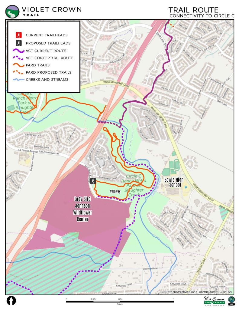
Work on the trail at Circle C completed in October 2024.

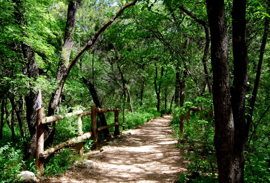
Trail and meadow
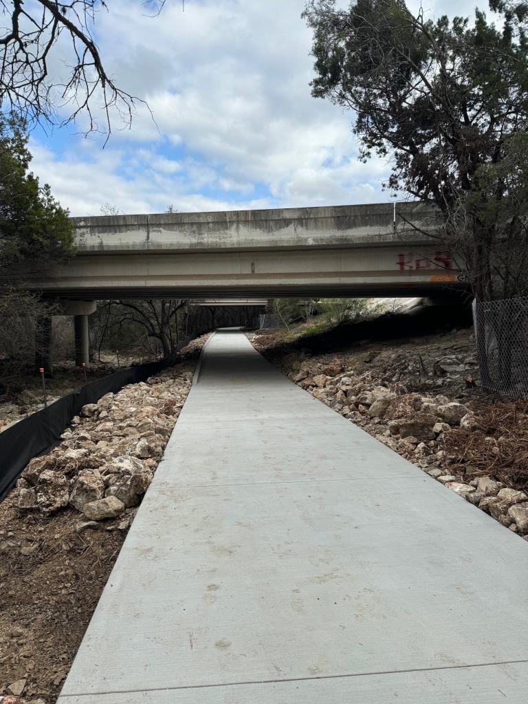
Concrete trail under the Mopac Right of Way
The Zilker Trailhead project at Zilker Park and the Barton Creek Greenbelt received permit approval in January 2022. We have received construction bids for the project that are in review. Work is anticipated to begin in late 2024 or early 2025.
Background
In 2006 Hill Country Conservancy (HCC) began planning a regional trail system, originally called the Walk for a Day Trail, with the aim of creating the first regional trail system in Central Texas. The goal of the project was to provide a unique recreational experience through urban wildlands, greenbelts, parkland, public right-of-ways and water quality lands. Along its route, the trail will connect scenic natural areas to neighborhoods, shopping centers, a library, and the Lady Bird Johnson Wildflower Center. Once complete, the 30-mile trail will be the longest trail of its kind in Central Texas.
Project Description
Below are several projects planned, in progress, or completed as part of the Violet Crown Trail system implementation.
In Progress
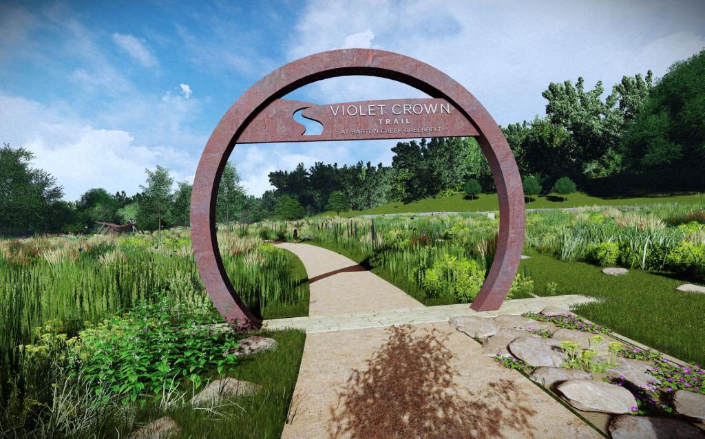
Zilker Trailhead: Through a Parkland Improvement Agreement, HCC is leading the design, permitting, and construction of a new trailhead for the Violet Crown Trail in Zilker Park and Barton Creek Greenbelt. The project received its permit in January 2022. We have received bids for the project that are currently under review. Construction is anticipated to begin early 2025. Funding is being provided through Hill Country Conservancy, Austin Parks Foundation, and City of Austin Parkland Dedication funds.
Community engagement for the Zilker Trailhead began in the fall of 2017 and ended in November 2018. Please review the information below:
Complete
- Barton Creek Greenbelt
-
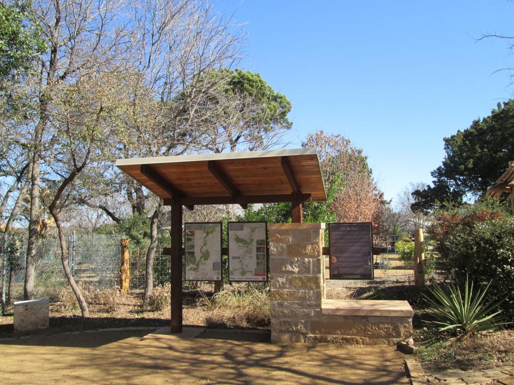
Work included a 6-mile extension of the existing greenbelt nature trail in the Barton Creek Greenbelt to connect to a new trailhead in Sunset Valley at the Hwy 290 entrance. HCC designed and installed the trail mile markers and wayfinding signs through an Austin Parks Foundation grant. Work was completed in August 2015.
- Sendera Mesa Trail Connection
-
Through the Public Works Neighborhood Partnering Program, HCC received a grant for an urban trail connection from Davis Lane to sidewalks along Sendera Mesa Drive which then lead to W. Slaughter Lane sidewalks. Work completed in 2016.
- Convict Hill to Dick Nichols Park
-
This section of the trail includes a new parking lot and trailhead under Mopac through an interlocal agreement with the Texas Department of Transportation. The trail is 12’ wide with a stabilized decomposed granite surface. Work completed August 2018.
- Dick Nichols Park
-
This trail connection continues the Public Works trail through Dick Nichols Park to Davis Lane. PARD built the north portion, and HCC built the south portion connecting to Davis Lane (see map below). Portions of the trail are stabilized decomposed granite and portions are concrete to address water flow and potential erosion. HCC designed, funded, and installed the trail signage and map kiosks. Work completed in 2019.
- Slaughter Creek Connection
-
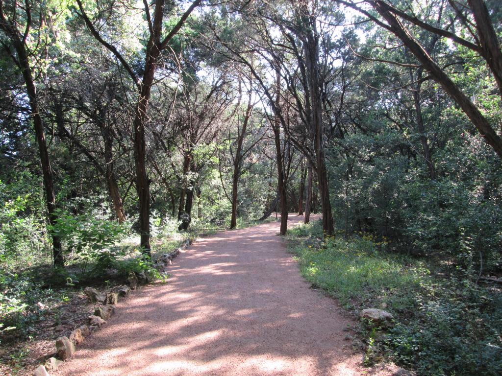
HCC continued the trail connection from Slaughter Lane to Slaughter Creek in the Slaughter Creek Greenbelt. Work included two low-water bridge crossings. Work completed in 2019.
Contact Information
For more information, please contact Parks and Recreation Project Manager, D'Anne Williams by email or by calling (512) 974-9456.


