Townlake

Welcome to Austin Watershed Protection

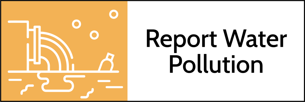
Austin Watershed Protection protects lives, property and the environment of our community by reducing the impact of flooding, erosion and water pollution.

Key Services and Information

DRAFT DRAFT
Icon: water pollution DRAFT
Icon with measurement and waves

Featured Programs and Projects

Flood Insurance Assistance Program

We are partnering with Austin Housing and the Del Valle Community Coalition to conduct a pilot program to provide up to $2,000 in financial assistance for Austin homeowners to obtain or maintain flood insurance for one year. This program aims to support residents in high-risk flood areas by reducing financial barriers to coverage.

Eligibility

  • You must be a current homeowner in Austin.
  • You must use the funds to obtain, renew or maintain flood insurance.
  • You must reside in a floodplain (See map of floodplains).
  • Your income must fall below 140% Median Family Income (MFI).
  • You must provide evidence of income, residency, and homeownership.

For more information or to apply, visit the Flood Insurance Assistance Program page on the Del Valle Community Coalition’s website.

Hydrilla in Lake Austin

There has been a spike in the extent of hydrilla in Lake Austin since June. Hydrilla is a nonnative, invasive plant. It is now covering approximately 30% of the lake, up from less than 5% in June. In November, we added approximately 1,950 sterile grass carp to help manage the hydrilla. This maintains a rate of a 5 grass carp per acre of hydrilla.

Public Meeting

Thank you to everyone who attended the public meeting on November 18, 2025. Here are links to resources related to the meeting.

About Hydrilla

When considering hydrilla, please keep in mind:

  1. Aquatic vegetation, including hydrilla, can benefit fish and water quality
  2. Hydrilla can grow so fast that it becomes a problem for the environment and our community.
  3. Managing hydrilla is a complicated balancing act that takes time.

Learn more about hydrilla and plants in Austin's Lakes or sign up to receive email updates.

Floodplain Remapping

The City of Austin, Travis County and other Central Texas communities are updating floodplain maps in the region, The updates are based on the Atlas 14 study. Our current floodplain maps show where flooding is likely to occur with 10.2 inches of rainfall in 24 hours. The updated maps will reflect flooding from almost 13 inches of rain in some areas. This amount of rainfall has a one percent chance of occurring in any given year (the 100-year storm). Find out more about floodplain remapping efforts at ATXFloodplains.com.

Rain to River

Rain to River is a strategic plan that will guide the work of Austin Watershed Protection for the next 10 years. We will use this plan to set goals, prioritize our work, and guide our decision making to tackle urgent challenges such as climate change and racial inequities. The plan will update and replace the current Watershed Protection Strategic Plan.


Recommended Video


What's on Facebook?

Join us for Wild About Plants, a FREE Grow Green event, to dig into the resilient beauty of Central Texas native & adapted plants... our “Texas tough” garden heroes.
Grow Green for your family & pets, local wildlife, Austin's creeks, & a cleaner, healthier community – with expert tips on how to garden smarter, not harder! Read more on Facebook.

native Texas garden


Contact Us

For more information, visit our contact page.

 About Twitter | Our logo, brand guidelines, and Tweet tools    facebook icon    File:Youtube logo.png - Wikimedia Commons