Background
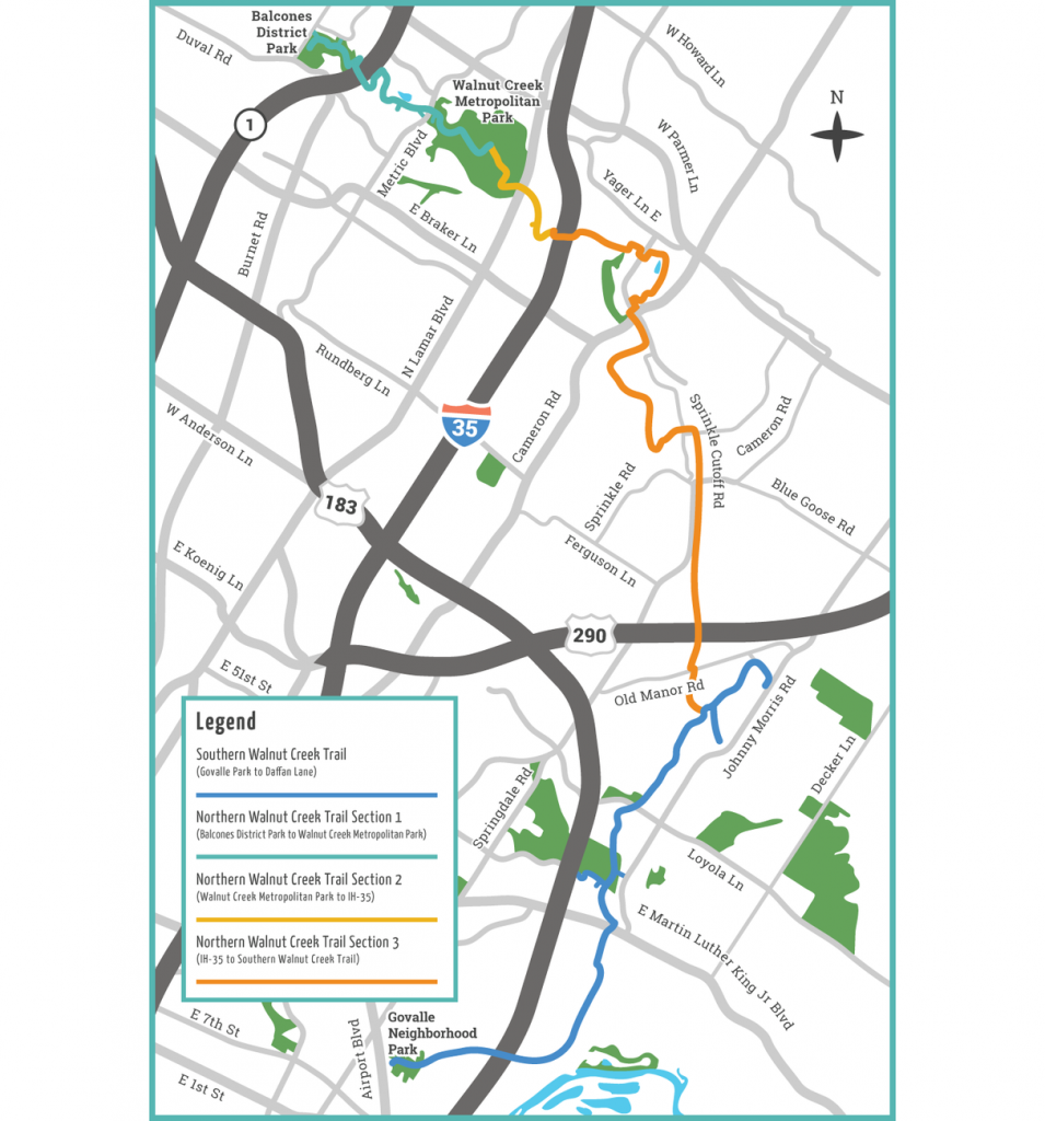
The Walnut Creek Regional Trail system was originally proposed by the Parks and Recreation Department (PARD) in the late 1990s as the city’s first regional trail system. Once complete, the trail will be approximately 20 miles long with bookend trailheads at Balcones District Park in northwest Austin and Govalle Park in southeast Austin. Implementation of the trail system has been divided into multiple phases/sections for planning and construction.
Project Description
In Progress
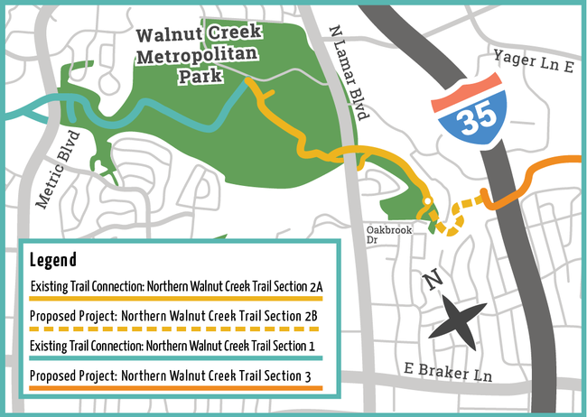
Phase 2B will continue the trail from Oakbrook Dr. to I-35. This trail section is in the design phase.
Phase 3 of the regional trail project will continue from I-35 to connect to the existing Southern Walnut Creek Trail south of Hwy 290. This phase of the trail project is in design development and is anticipated to begin the permit review process in early 2025. For more information and to see the Preliminary Engineering Report, please visit the Public Works Urban Trails webpage at Walnut Creek Trail System | Open Data | City of Austin Texas
Complete
- Southern Walnut Creek Trail
-
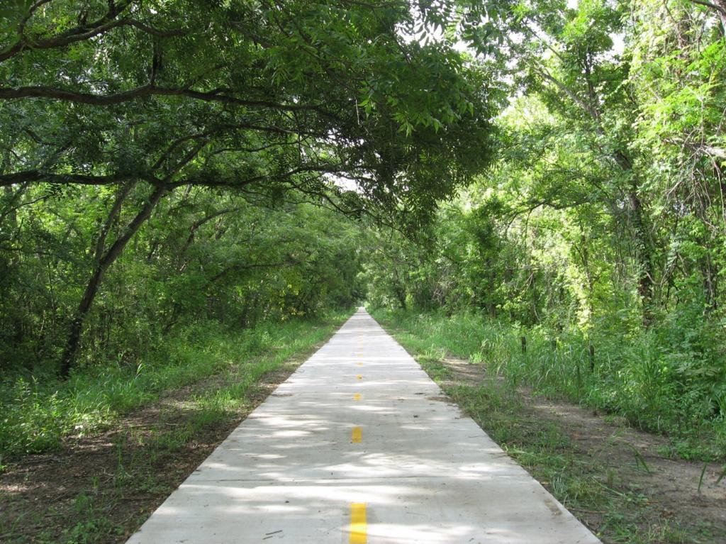
8.7 miles of trail from Govalle Park to Johnny Morris Rd/Daffan Lane. Completed 2014.
- Northern Walnut Creek Trail Phase 1 and 1A
-
3.5 miles of trail from Balcones District Park to Walnut Creek Metropolitan Park. Completed 2014 Phase 1 and 2019 Phase 1A.
- Northern Walnut Creek Trail Phase 2A
-
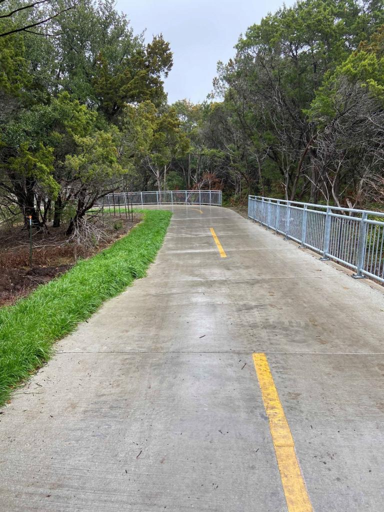
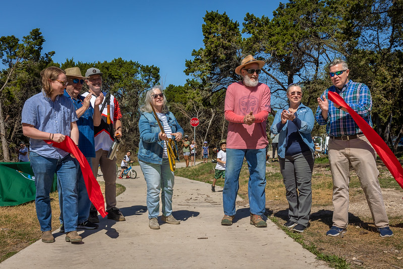
PARD and Public Works Urban Trails held a ribbon cutting on March 4, 2023 to officially open Section 2A of the Northern Walnut Creek Trail. This portion of the trail began construction in late October 2021. PARD partnered with the Public Works Urban Trails Program to fund, manage and implement the trail. The 1.3-mile section of 12-foot wide concrete trail continues the existing Northern Walnut Creek Trail Phase 1 with a trailhead in the Walnut Creek Metropolitan Park, heads east crossing under Lamar Blvd., and ends at Oakbrook Dr.
Anticipated Schedule
Northern Walnut Creek Trail Phase 2B
- 2025: Design and Permitting
- Construction to be determined after review
Community Engagement and Funding
For information on past community engagement and funding resources, you can visit Walnut Creek Trail System | Open Data | City of Austin Texas.
Related Projects
The Public Works Urban Trail Program is also working on trail sections that will connect to the regional trail system.
Those sections include:
- The Copperfield Elementary Connector
- The La Loma Trail Connector
- The Austin to Manor Phase IITrail System
Contact Information
For questions on this project, please contact D'Anne Williams, PARD Project Manager, by email or (512) 974-9456.


