Discover the latest climate projections to understand how climate change will shape the city's future weather patterns.
Recent projections for Austin indicate a future with hotter summers, more frequent heatwaves, and fewer cold spells. Rainfall projections are highly uncertain, but the amount of rainfall in our area is expected to remain relatively unchanged. As the climate shifts, we can anticipate more extreme weather, more climate variability, and a slight increase in windy days.
These projections have been meticulously calculated and analyzed by a team at the University of Texas at Austin as part of the UT-City Climate CoLab — the first city-specific climate collaborative globally. Experts outlined potential outcomes based on two different emissions scenarios, each fully dependent on human activity — or inactivity — in the face of climate change:
- "High-emissions scenario" — a situation where emissions from human activities keep increasing rapidly.
- "Business-as-usual emissions scenario" — a situation where our emissions remain the same as they are now.
Want to better understand how climate change is impacting Austin? Explore a summary below or read the full technical report (PDF, 3 MB).
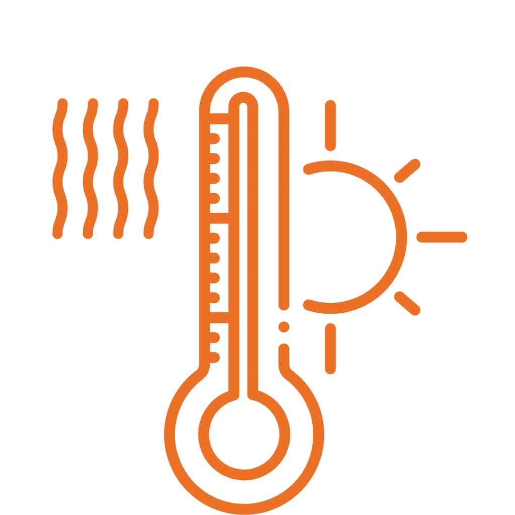
Heat
|
- Minimum and maximum daily temperatures are projected to rise.
-
Summers are expected to be hotter, with maximum temperatures increasing 10°F by the end of the century if high emissions continue. Historically, temperatures above 110°F were rare, but these temperatures are expected to become more frequent.
Heatwaves, defined as three or more consecutive days with excessively hot weather, have been rare in Austin but are expected to double by the end of the century under both “business-as-usual” and “high emissions” scenarios.
The number of hot spell days, which are two or more consecutive days with temperatures above 102.5°F, is also expected to increase by 2 to 3 times under high emissions scenarios by the end of the century. The heat index, which is the perceived temperature after factoring in humidity, will also increase — worsening heat impacts overall.
|
|

Cold
|
- Fewer frost days and freeze spells are expected, with cold spells lasting about as long as usual.
-
The number of frost days, when the minimum temperature drops below 32°F, is expected to decrease significantly by 2 to 3 times from the middle to the end of the century. Freeze spells, which are periods of two or more consecutive days with an average temperature below 28°F, will remain rare in the future.
Austin's cold spells, where the average daily temperature is below 49°F, will last about as long as they did in the past.
|
|
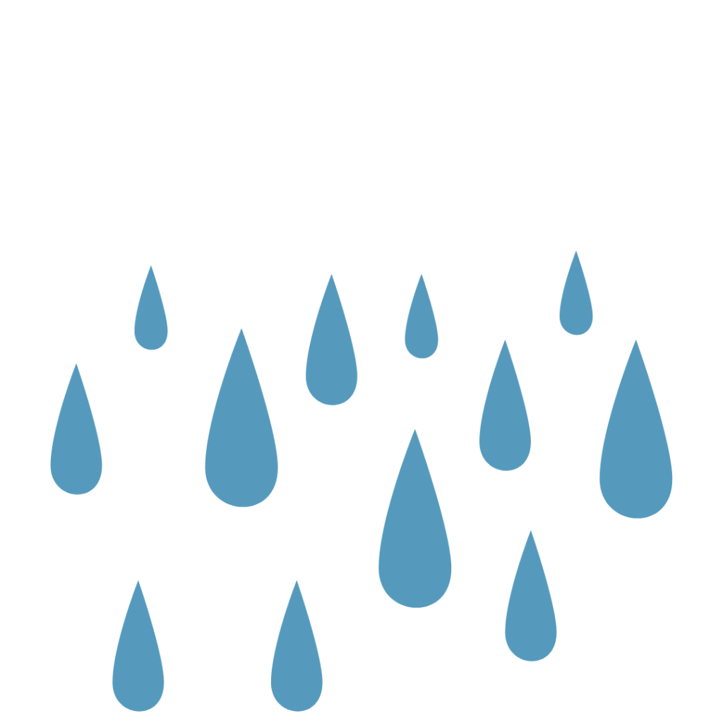
Rainfall
|
- Rainfall projections are uncertain, but annual totals remain relatively steady.
-
Extreme rainfall events, where more than 2” of rain falls in a day, are expected to happen slightly more often. The highest amount of rain in a single day each year is also expected to increase slightly. However, the total annual rainfall, the amount of rain over any five consecutive wet days, and the number of rainy days each year are projected to stay about the same.
|
Read the full 2024 Climate Projections Report (PDF, 3 MB)